All Local, All The Time
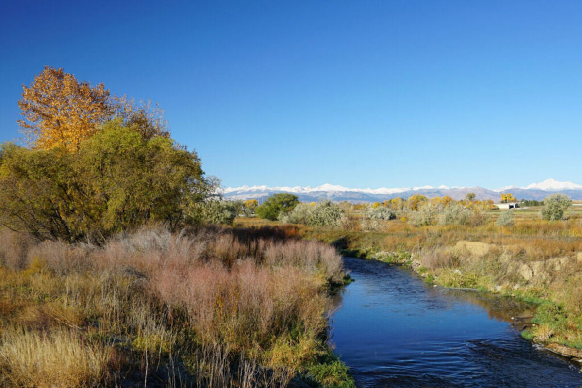
Public invited to take survey regarding East Boulder Creek Site

Public input is being requested by Boulder County Parks & Open Space as the department prepares a management plan for the East Boulder Creek Site. The survey is an opportunity for the community to assist with shaping the future of the site, including how to prioritize conservation and community access.

The area totals 1,377 acres and the location is described on the website as "[Sharing] a border with Weld County at East County Line Road, and is also bounded by State Highway 52 on the north, US 287 generally on the west, and Jasper and Kenosha Roads on the south. The Town of Erie lies just to the south, Niwot several miles to the northwest, and Longmont about five miles to the north."

The Site consists of five different open space properties, with dozens of ponds and five miles of year-round stream flow from the Boulder Creek and Coal Creek and expansive views of the Front Range and Indian Peaks, thanks to its flat topography.

Riparian and other wildlife habitats are abundant, however, the area has been used for aggregate mining in the past. Some restoration of gravel operations has taken place and more is planned for the future, but oil and gas operations are still in operation in the area. The sIte is also home to an agricultural community.

Given the relatively close proximity to Niwot and Gunbarrel, residents are encouraged to give their responses to the survey which poses questions about what each respondent would like to experience in the area such as offering gathering places for friends/family, places to exercise, should there be access to water, and a place for quiet reflection. Additionally, the survey is requesting suggestions for a new name for the area.

For additional information and to fill out the survey, visit https://bouldercounty.gov/open-space/management/east-boulder-creek/


Reader Comments(0)