All Local, All The Time
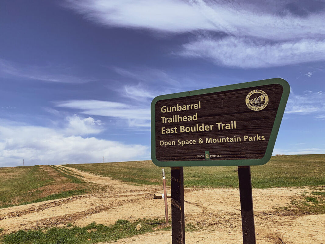
Proposed new loop trail at Gunbarrel Hill aims to protect grassland habitat

The City of Boulder's Open Space and Mountain Parks (OSMP) is planning to build a new loop trail in the northwest corner of the Gunbarrel Hill open space.

The approximately 1,000-acre open space site, which is owned by the City of Boulder and managed by its Open Space and Mountain Parks Department, is located to the south of Lookout Road between North 75th Street and North 95th Street.

The proposed loop trail is estimated to add roughly two miles of trail to the system and is part of a larger Gunbarrel Hill site management plan that was proposed in January 2020. According to the OSMP website, the trail project will make improvements to existing undesignated trails and construct a new trail to create a larger habitat block through the restoration of interior undesignated trails. At present, there is no estimated completion date for this new trail, though construction is estimated to begin later this year.

"OSMP's Master Plan, West Trail Study Area (TSA), North TSA, and additional site-specific management plans, such as the Gunbarrel Site Plan, provide guidance for new trails throughout the system," said Phillip Yates, a spokesperson for City of Boulder Open Space and Mountain Parks.

Yates, a Niwot resident, said the multi-use trail will be open to pedestrians and equestrians, but not bikes, as determined through the Gunbarrel Hill Integrated Site Project (ISP) community process. Dogs will be allowed on the trail, but on-leash requirements will be in place from May 1 through July 31 to help protect ground-nesting songbirds.

According to Yates, OSMP typically uses crusher fines or road base as the surface for multi-use trails. The vast majority of the trail will be 6 feet wide, but some segments may be 10 feet wide to accommodate utility vehicles.

Currently, OSMP manages about 2.3 miles of designated trail at Gunbarrel Hill along the East Boulder Trail. However, the site management plan notes that, based on data from 2017 and 2018, nearly 11.8 miles of undesignated or informal trails were also established in the area.

Undesignated trails, also known as user trails or social trails, are created by repeated off-trail traffic. Though it might look like an official trail on the ground, it is not managed, maintained or sanctioned by the land manager. These informal trails usually do not have trail signs and won't appear on an official map of the area.

Undesignated trails are often poorly routed as people tend to take the shortest distance between two points. They are prone to erosion, often don't hold up to heavy traffic, and can result in vegetation or soil loss as well as habitat fragmentation.

The Gunbarrel Hill site management plan notes that these undesignated trails seem to suggest visitors are looking for more opportunities for recreation in the area. The new loop trail will offer increased opportunities for recreation and exploration of the area on a designated route that will also protect the grassland habitat.

"The new alignment will utilize some existing user-created trails but will shift significantly to the north to increase the size of a large habitat block on Gunbarrel Hill - which was one the priorities of our recent Gunbarrel Hill Integrated Site Project," said Yates.

According to the Gunbarrel Hill Site Management Plan, the Gunbarrel Hill project area is the site of OSMP's longest-running grassland restoration projects, which started in the 1980s. The native grass cover creates ideal ground-nesting bird habitat, including habitat for the grasshopper sparrow (Ammodramus savannarum).

According to theColorado State Wildlife Action Plan, the grasshopper sparrow has been identified as a Tier 2 species of greatest conservation need in Colorado. Gunbarrel Hill supports the densest population of grasshopper sparrows on public lands in Boulder County. Additionally, this ground-nesting bird is considered an indicator species, meaning that its health and abundance is associated with the overall health of the greater ecosystem.

Along with the grasshopper sparrow, the area is also home to burrowing owls, northern harriers, and Leonard's (Pawnee) skipper, a type of butterfly. The area currently has two seasonal closures - one from March 15 through Oct. 31 to protect nesting burrowing owls north of Lookout Road, and one from Nov. 1 to July 31 south of Heatherwood to protect nesting and roosting raptors.

The Boulder County Comprehensive Plan designated the Gunbarrel Hill site as a Critical Wildlife Habitat. In 2017, OSMP staff estimated that the Gunbarrel Hill area supported roughly 77,000 total annual visits, many of which came from repeat visitors.

Looking to the future, the community can expect OSMP to continue to engage in discussions with the public as recreational use of this protected open space continues to grow.

"As new plans are developed, public engagement is an integral component of the process, and we encourage everyone to participate and help our community enjoy and protect open space," said Yates.

For more information about the Gunbarrel Hill ISP, visit bouldercolorado.gov/osmp/gunbarrel-hill-isp


Reader Comments(0)


Rendered 04/14/2024 05:27